
Maps
The map is central to the app. There’s an overview map for the whole app, and each walk has its own map with its stops. Visitors see their own position as a blue dot (if GPS is allowed).
Map settings for the whole app
Section titled “Map settings for the whole app”Apps → Map tab:
| Field | Meaning |
|---|---|
| Map Library | MapLibre uses OnSpotStory’s own maps. MapBox is used if you have your own Mapbox account with special features. |
| URL to MapGL Style | Link to the map style (colours, which layers are shown). |
| Map Style | Map style pasted directly, if there’s no link. |
| Bearing | Map rotation in degrees. 0 = north up. |
| Map Sources | Custom images, video or areas on top of the map for the whole app. See Custom map image. |
The map style is set up by OnSpotStory. Want your own style? Contact us.
The walk map
Section titled “The walk map”Walks → choose a walk → Location (Map) tab:
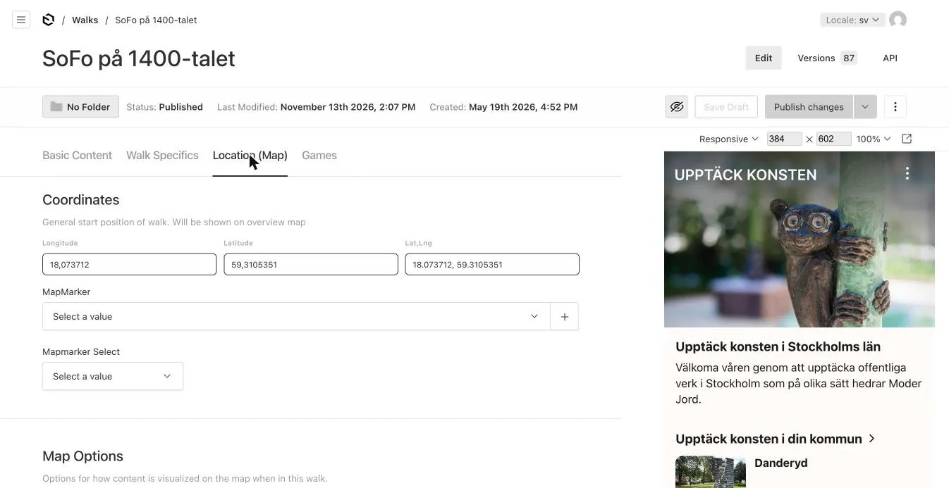
| Field | Meaning |
|---|---|
| Coordinates | The walk’s start position. Shown on the overview map. |
| MapMarker | How the walk looks on the overview map. Not used by the app at the moment – see Map markers. |
| Auto Center Map on all Locations | The map zooms so all stops are visible when the walk opens – instead of focusing on the first stop. |
| GPS Fence Options | GPS notifications and trigger areas – see GPS and geofences. |
| Map Sources | Custom map layers for this walk. |
Stop positions
Section titled “Stop positions”Each stop has its own position under Location Specifics → Coordinates. See Locations.
Coordinates
Section titled “Coordinates”Positions are entered in decimal degrees, e.g. latitude 59.3181581 and longitude 18.0746501. Have degrees-minutes-seconds (59°19’05”N)? Convert first, or right-click the place in Google Maps and copy the coordinates from there.
Find here
Section titled “Find here”With Find Here Button on a stop, a Find here button is shown that opens the phone’s map app with directions to the stop.
Offline maps
Section titled “Offline maps”Maps work even without coverage, for areas that have been loaded.
More about maps
Section titled “More about maps”AI answers can be wrong – check the linked pages.